
The Colorado River
An exhausted Resource.

When the Colorado River Compact was negotiated, states assumed that roughly 18 million acre-feet of water would flow through the basin each year. In reality, experts say, the river rarely has contained that much water — and climate change has depleted flows even further. Higher temperatures caused mostly by burning fossil fuels cause snow to melt early and evaporate before it reaches the river. Heat also dries out soil and increases the water demand from crops and ecosystems.
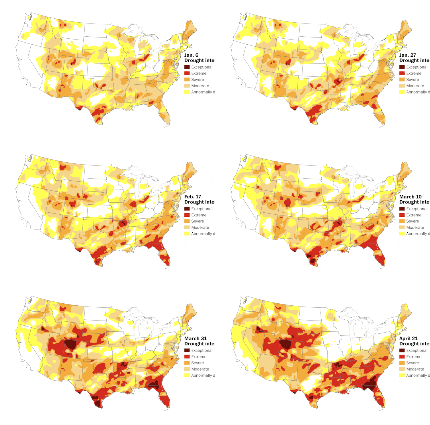
More than 60 percent of U.S. is covered by drought as impacts worsen
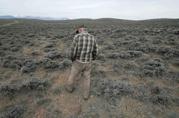
Epic winter drought creates a bleak situation for farmers — and your food
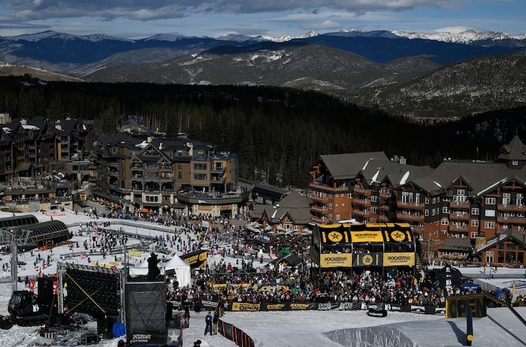
‘I’ve never seen anything like it’: A winter drought grips the U.S.
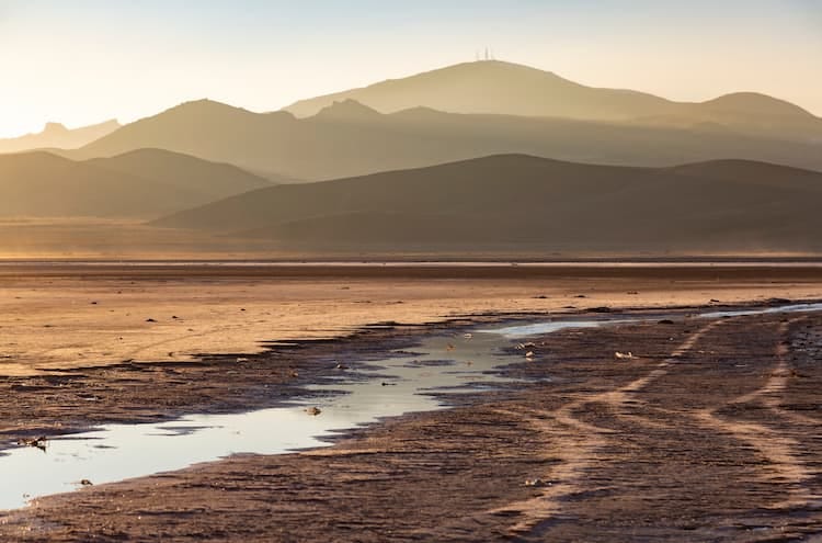
The world has entered a new era of ‘water bankruptcy,’ U.N. report says
Since 2000, research shows, Colorado River flows have been about 30 percent less than in the early 20th century, when the compact was negotiated. Human uses of river water have exceeded supply by an average 1.5 million acre-feet. This overuse was sustained by drawing down water stored in Lake Powell and Lake Mead, which are both at less than 30 percent of capacity.
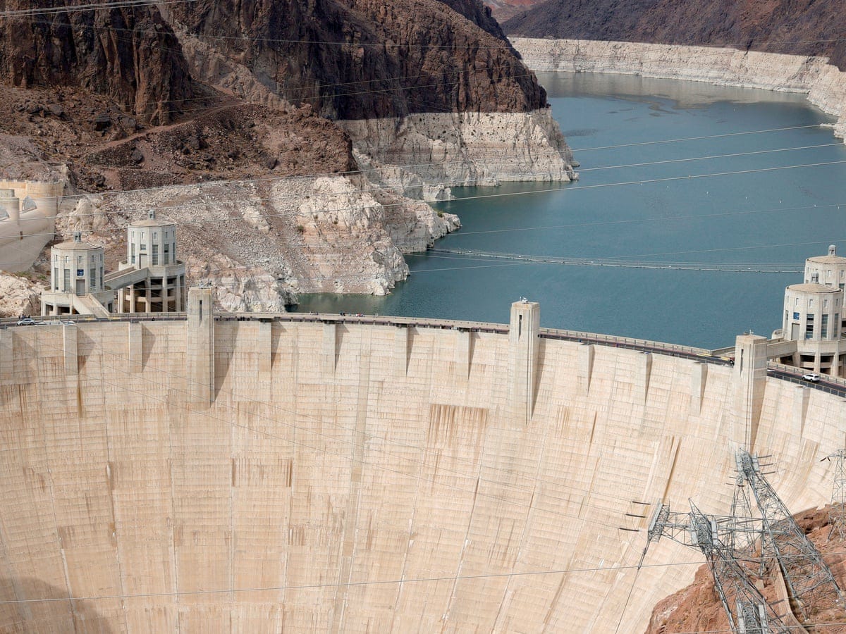
The Hoover Dam is located in the Black Canyon of the Colorado River.
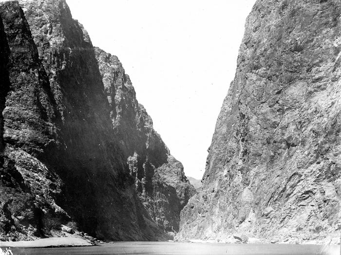
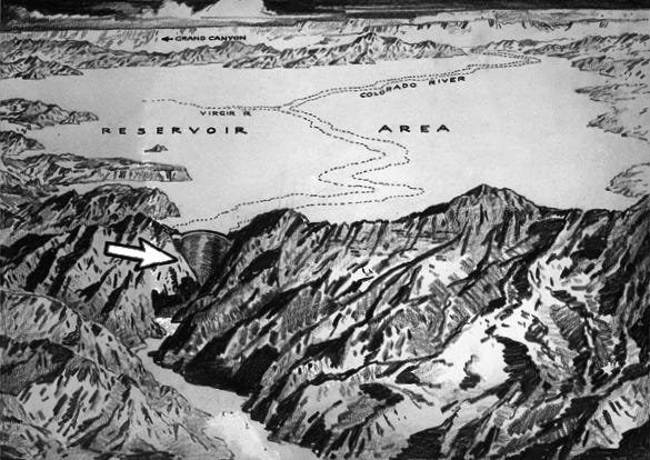
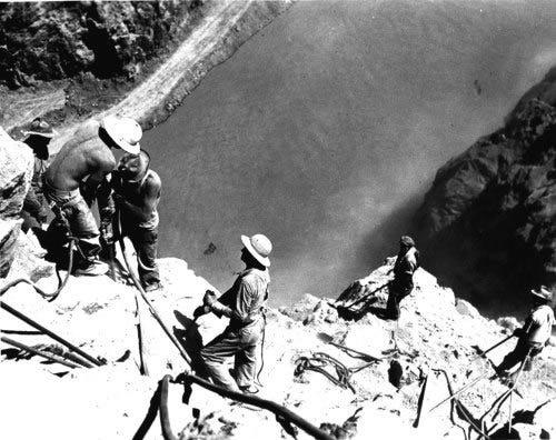
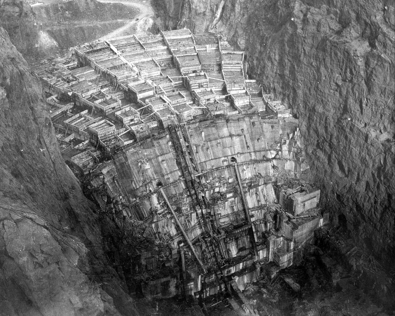
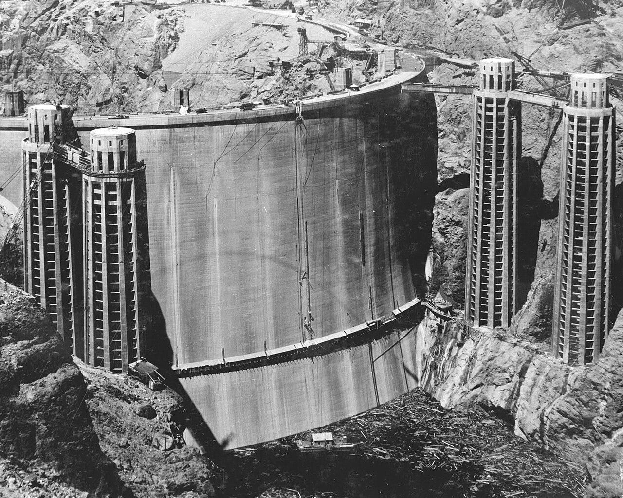
Hoover Dam’s Outflow feeds the Colorado River, down to Mexico
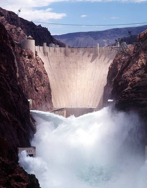
Hoover Dam’s output is not only water, but it also produces electricity for Las Vegas. Electricity from the Hoover Dam is also distributed across three states (Nevada, Arizona, and California) to public and private utilities. The energy allocation is split primarily as follows:
California: 50.4% (Includes 28.5% to the Metropolitan Water District of Southern California and 15.4% to Los Angeles)
Nevada: 23.4%
Arizona: 19%
The remaining power goes to smaller utility companies and municipalities across the tri-state area, including Southern California Edison, Boulder City, Riverside, and Anaheim.
Turbine Room at the Bases of the Hoover Dam
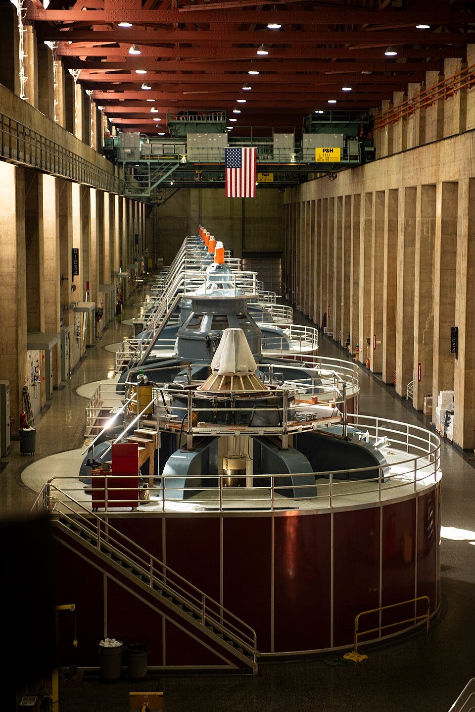
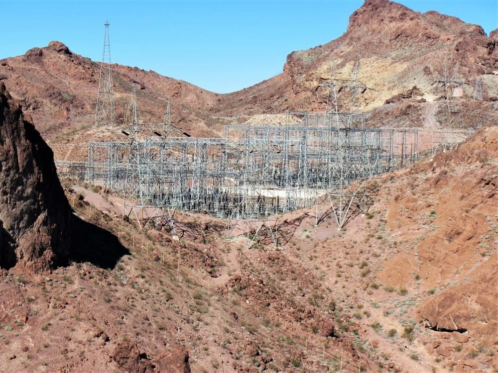
Main Distribution Electrical output from Hoover Dam
Situated on the border between the U.S. states of Arizona and Nevada, the dam is about 35 miles southeast of Las Vegas. It impounds the Colorado River to create Lake Mead and sits about 30 miles from Boulder City, Nevada.
One of the most iconic images of America. Is the Hoover Dam. It remains as one of the wonders of our world. It seemed it was an endless resource for water and electricity. Its construction was the result of a massive effort involving thousands of workers, and it cost over 100 lives. Bills passed by Congress during its construction referred to it as Hoover Dam (after President Herbert Hoover), but the Roosevelt administration named it Boulder Dam. In 1947, Congress restored the name, Hoover Dam.
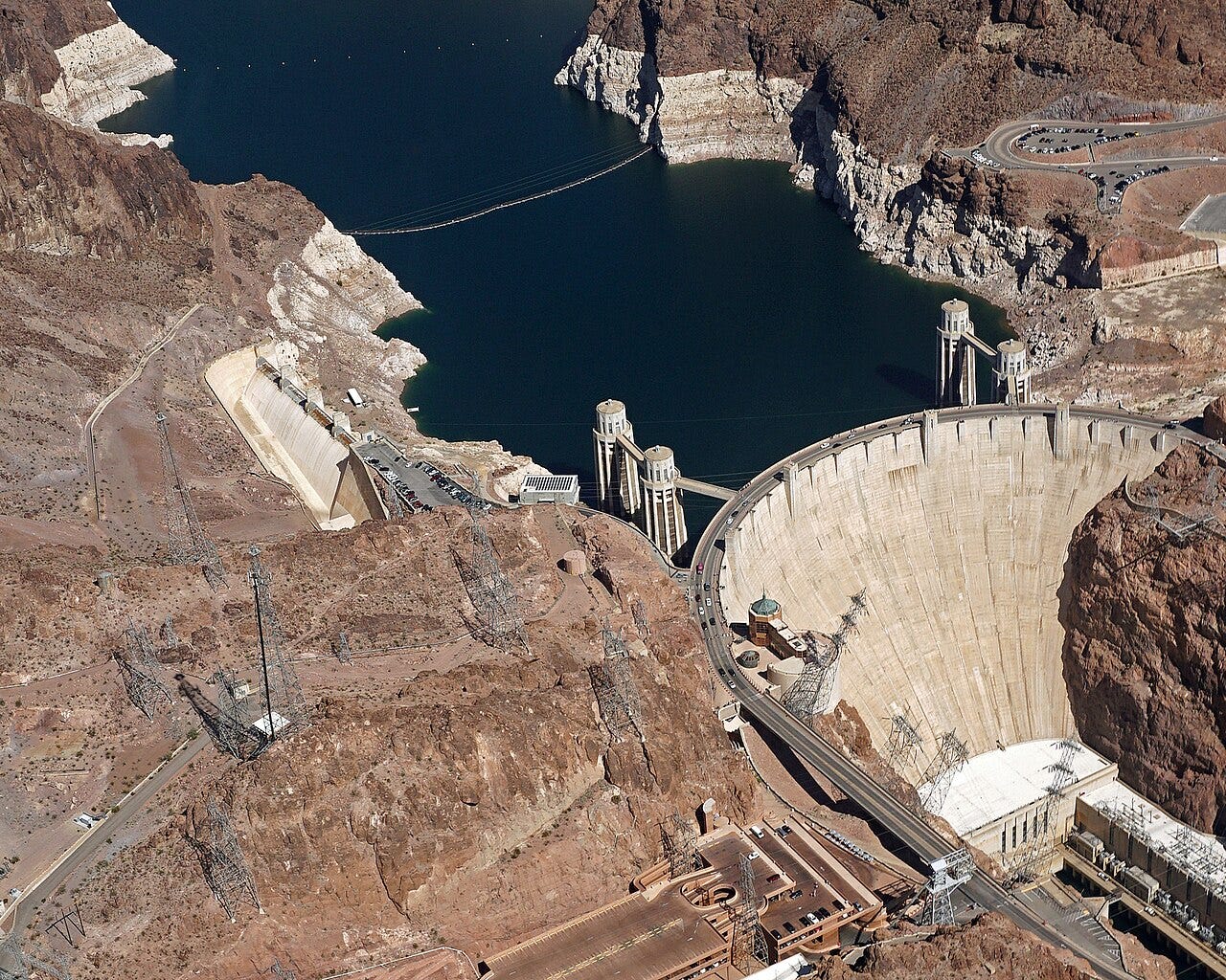
The federal government is poised to announce a major decision about the fate of the shrinking Colorado River — a crucial water supply for 40 million people across two countries, seven states, and 30 tribes.
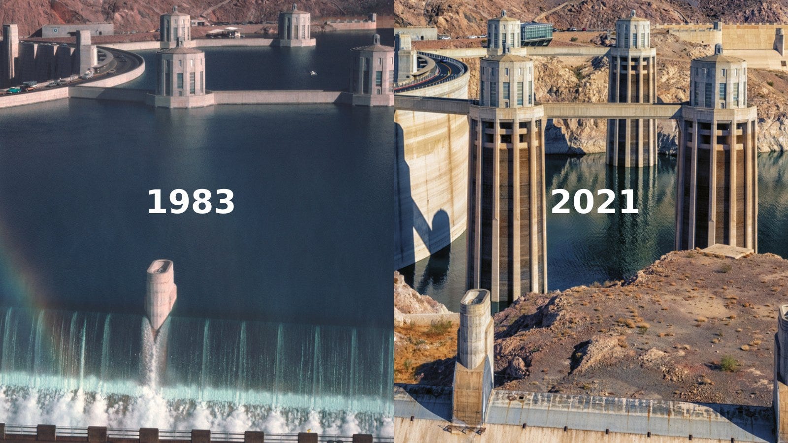
Appearance of Lake Mead shortly after first fill.
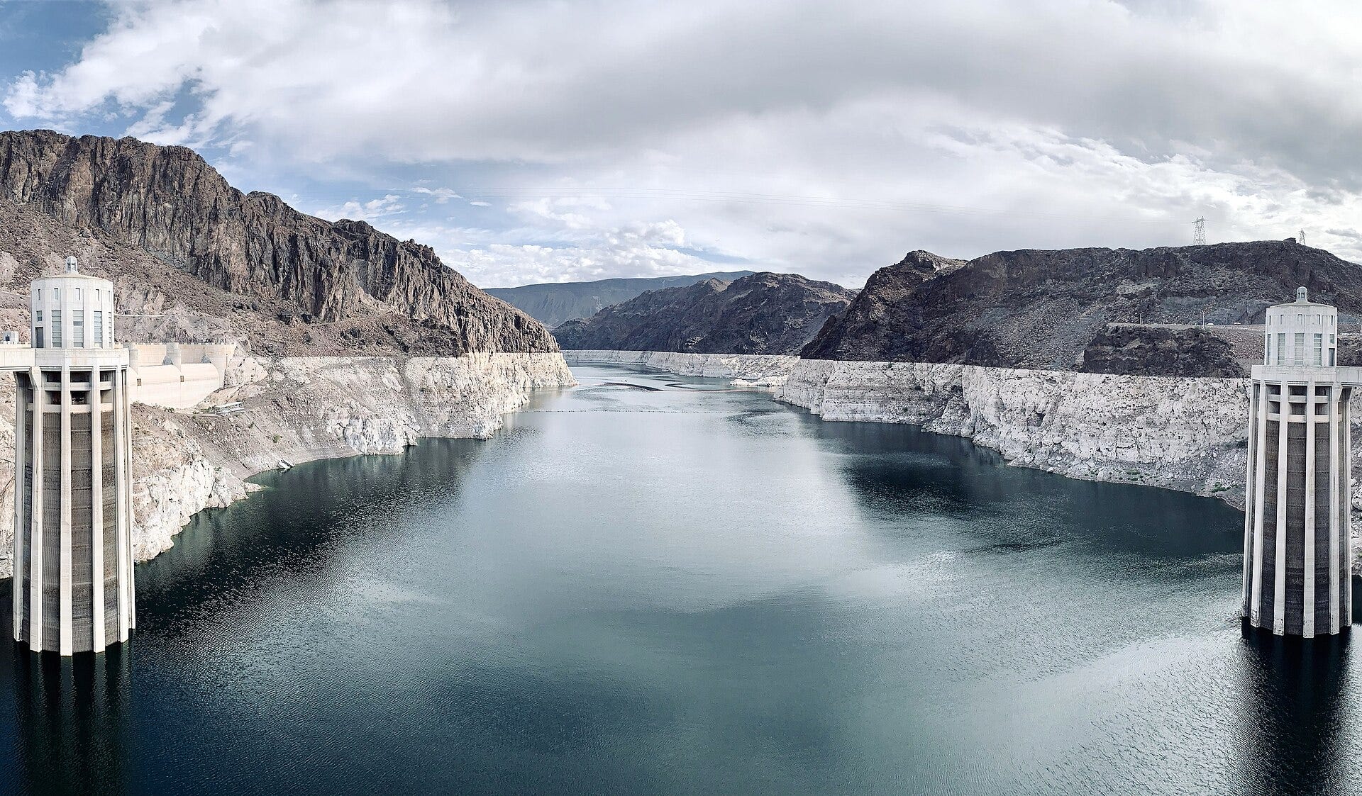
Over the past few decades, the worst drought in at least a millennium has parched the Western landscape and caused reservoirs to dwindle. A historically warm and snowless winter reduced this year’s flow to a trickle. Water levels behind two of the nation’s largest dams are in danger of dropping so low that the dams will stop functioning.
At the same time, 19-year-old regulations for managing shortages in the basin are due to expire at the end of this year — and the river’s disparate users have been unable to agree on a rescue plan.
In December 2025, the Interim Agreement expired. The prior agreement assumed the Colorado River flow would remain unchanged.
The Interim Agreement in chart form
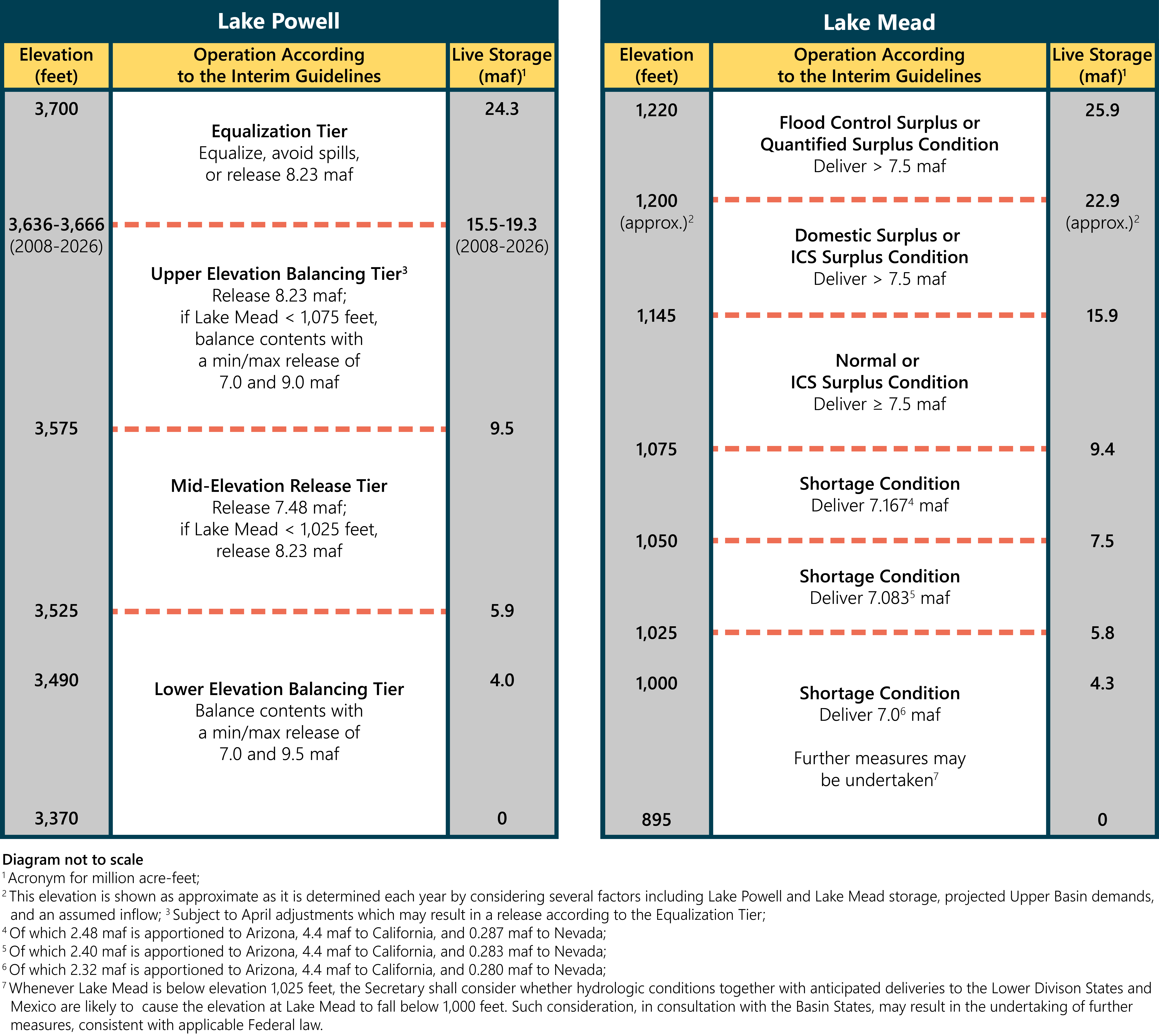
Neighboring states, California, Nevada, Arizona, and Utah, depend upon the water from Lake Mead for water and power. These states can no longer agree, and the Federal government must step in.
The Colorado River has a series of dams that control flow to the lower Colorado River.
Glen Canyon Dam - Located in Arizona, it creates Lake Powell and is crucial for water storage and hydroelectric power.
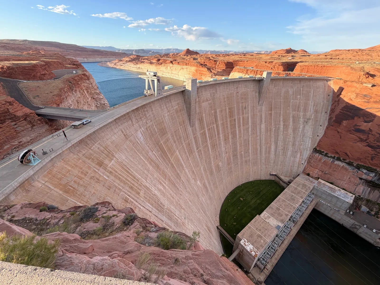
Hoover Dam - Straddling the border of Nevada and Arizona, it forms Lake Mead and is a major source of water and electricity.
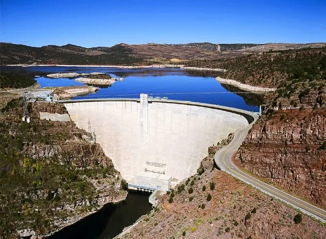
Flaming Gorge Dam - Situated in Utah, it regulates river flow and provides hydroelectric power and recreational opportunities.
Blue Mesa Dam - Located in Colorado, it creates Blue Mesa Reservoir and is important for irrigation and recreation.
Morrow Point Dam - Also in Colorado, it is part of the Curecanti National Recreation Area and helps manage water flow.
Aspen Dam - A smaller dam in Colorado, it contributes to local water management and recreation.
Each of these dams controls river flow to maintain the levels to ensure adequate water or aqueduct flows and turbine flows.
A major Colorado River decision looms. Here’s how it will affect millions.
With the river in freefall, federal officials plan to intervene, possibly imposing large cuts to water usage in seven states. Effects would be felt beyond the West.
Roughly 1 in 10 Americans draw water from this basin, including residents of major cities like Denver, Las Vegas, Los Angeles and Phoenix. The basin is also home to 30 Native tribes, though many of them are unable to fully access water from the river because of disputes over their rights or a lack of necessary infrastructure.
The overwhelming majority of river water — roughly 75 percent of direct human use — goes to agriculture, primarily for irrigating feed crops for cattle. Some 5.5 million acres of farmland are irrigated from the Colorado.